Digital Lab
Digital Twin Solution
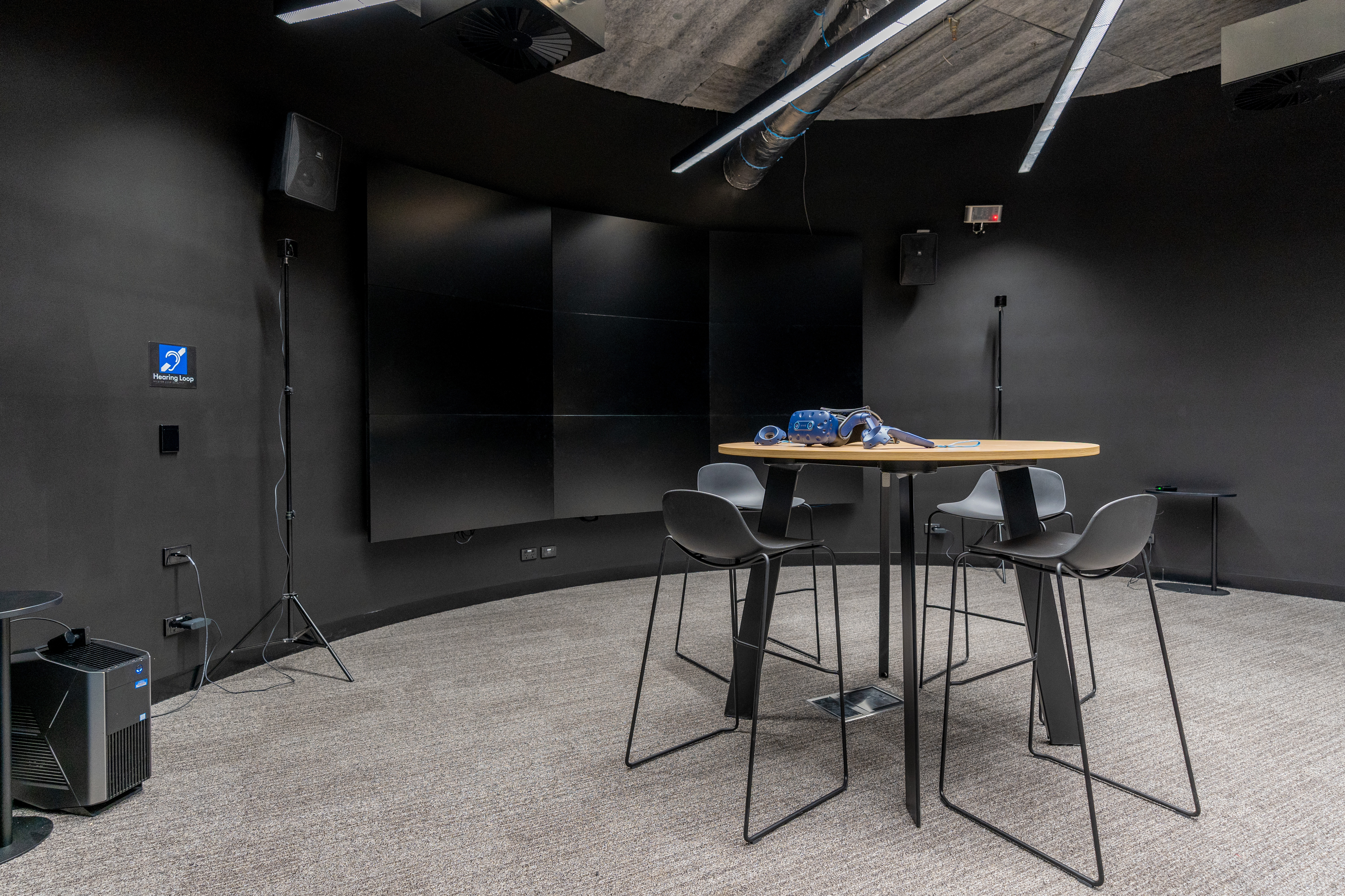
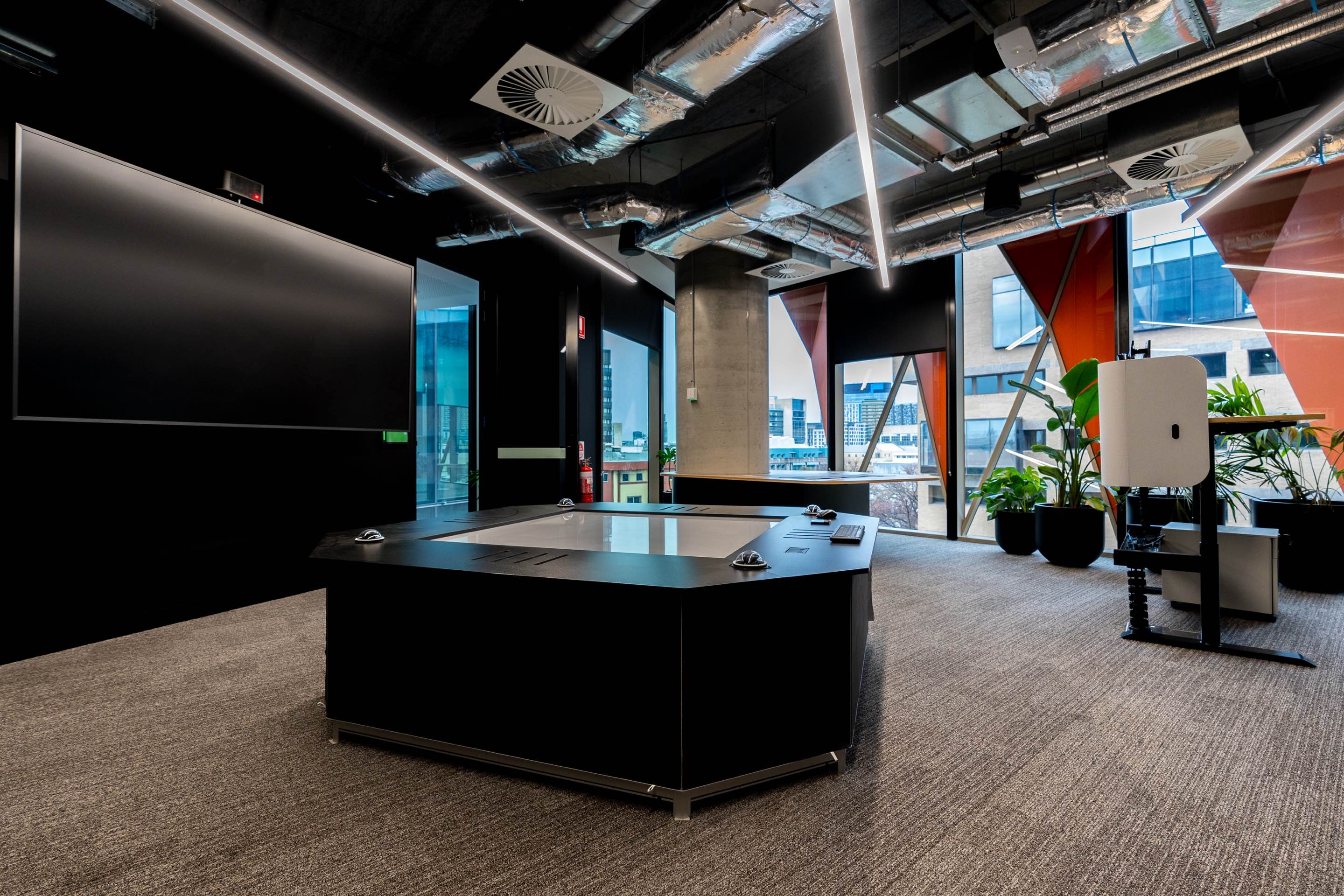
The Digital Lab serves as the technology arm of the Centre for SDIs and Land Administration (CSDILA), offering state-of-the-art solutions for interactive data capture, analysis, and visualisation. The lab supports research, development, and teaching across a broad spectrum of disciplines. Located on Level 1 at Melbourne Connect, the Digital Lab is equipped with advanced technologies and applications designed to bring innovation into our solutions.
We are open to partnership proposals, so please contact us if you are interested!

Services
The role of the D-Lab is to provide service and promote creation and innovation in scientific research, education and training and to boost productivity in academia and industry through the provision of:

Data Collection
Data collection using state-of-the-art data-capturing equipment

Data Visualisation
Data visualisation using a range of cutting-edge tools and technologies

Data Analysis
Data analysis to generate novel digital solutions that can support decision-making
Research Areas
By provision of a wide range of tools and technologies for data capturing, visualisation, and analysis, the D-Lab can support teaching and research activities in various domains:
- Land Administration
- Digital Twins and Smart Cities and Buildings
- Infrastructure Engineering
- Buildings and City Planning
- Advanced Manufacturing
- Health
- Disaster Management
Project Opportunities
We are interested in collaborating with industry partners! For the latest opportunities, please contact:
Prof Abbas Rajabifard
Selected Capabilities and Tools

Leica BLK2GO Handheld Laser Scanning
Equipped with handheld SLAM(Simultaneous localisation and Mapping) technology and the cutting-edge cloud-based visualisation and collaboration platform HxDR, the new BLK2GO handheld laser scanner is the industry's first wireless handheld imaging laser scanner. This premium piece enables precise and productive reality capture with astonishing accuracy (~ 6-15mm) with the speed of mobile mapping.

Leica BLK360 Imaging Laser Scanning
The all-new Leica BLK360 is an advanced precision imaging laser scanner. At the push of a button, users can capture a full scan with spherical images in only twenty seconds. With the Visual Inertial System (VIS) technology, BLK360 pre-registers your scans on-site automatically in the field and facilitates scan processing.

Hovermap ST
Hovermap ST is an award-winning 3D LiDAR mapping and autonomy payload for drones. Utilising world-leading SLAM-based LiDAR technologies, omnidirectional collision avoidance as well as various cutting-edge technologies, Hovermap ST provides accurate and industry-grade capabilities for mapping activities in challenging environments.

HTC Vive
HTC Vive Pro Eye Virtual Reality Headset Kit provides high quality immersive visualisation with dual-OLED displays with a combined resolution of 2880 x 1600 pixels and 615 PPI with Room-scale tracking up to 100m2

Matterport Pro2 3D Camera
High-quality 3D capturing camera with unlimited 4K print quality photography through 134 mega-pixels resolution. It captures images with rate of 20s per scan with a 5 GHz Wi-Fi band and generates 3D modes and 360° views.

Oculus Quest 1
Oculus Quest is a VR headset developed by Oculus as an all-in-one gaming system with an all-in-one VR system that supports a display refresh rate of 72Hz with 1440 x 1600 pixels per eye.

HoloLens
HoloLens are a pair of mixed reality smartglasses developed and manufactured by Microsoft.

ERS CO2 sensor
ERS CO2 sensors detect the indoor climate and monitor the indoor environment with NFC and a passive infrared camera. Being NFC equipped and enabled, the ERS CO2 sensor monitors indoor temperature, humidity, light, motion, and CO2 levels.

FARO FOCUS S350
The FocusS S350 laser scanner enables long-range measurements up to 350m, and the FocusS S120 measures up to 120m, for creating complete and photorealistic 3D images in minutes, in high accuracy and with mm-level range noise.

FARO GEO-SLAM ZEB-REVO
A hand-held, lightweight laser scanner to rapidly build highly accurate 3D models. Faro Geo-Slam Zeb-Revo captures 43,000 points per second in real-time with outstanding accuracy of up to 6mm for scanning up to 30 meters.

DJI Matrice 300 RTK
The DJI Matrice 300 RTK platform is designed with extensive system and sensor redundancies to maximize flight safety and reliability.

FARO FREESTYLE 3D
A hand-held, industrial-grade laser scanner for 3D documentation in real-time. This is suitable for small objects for real-time visualisation of the point cloud.

Hologram Table
Hologram tables are the latest visualisation technology to show 3D models such as buildings and infrastructures with the possibility of interaction.

3D-Pos Camera Unit
The 3D-Pos camera unit, powered by deep learning, enhances indoor monitoring with discreet 3D human pose and position detection. Prioritizing privacy, it's ideal for secure indoor spaces, offering valuable insights while safeguarding personal information.

Insta360 Pro 2
The INSTA 360 Pro 360-degree Camera V2 + Farsight allows you to capture 360-degree spherical VR videos and photos in a resolution of up to 8k3D. The Insta360 Pro 2 can record beautiful 8K video.

LED VIDEO WALL
A 3x3 luminous LED video wall for super-size high-resolution visual content displays.

DJI Mavic 3 Multispectral
Mavic 3 Multispectral has two forms of sight. It combines an RGB camera with a multispectral camera to scan and analyze crop growth with total clarity. Agricultural production management requires precision and data, and Mavic 3M delivers both.

DJI RS 3
With every detail, DJI RS 3 delivers a flexible and efficient shooting experience. Light and sleek, it provides professional stabilization and efficient control for more creative freedom and endless possibilities.

Sony Alpha 7R V
A professional-grade camera boasting a 61MP full-frame sensor for unparalleled image quality. Its advanced autofocus and 5-axis image stabilization ensure sharp results in various shooting conditions.

Milesight EM500 LoRaWAN CO2 Sensor
A 4-in-1 sensor for CO2, temperature, humidity, and barometric pressure. It's ideal for IoT applications in harsh environments, offering LoRaWAN & NFC connectivity for easy integration.

NavVis VLX3
With NavVis VLX 2, reality capture professionals have a mobile mapping system optimised for outdoor and indoor sites to tackle demanding projects in the field.

Apple Vision Pro
Apple Vision Pro seamlessly blends digital content with your physical space in ways never before possible. The era of spatial computing is here.

Unitree GO2
Go2 features with Unitree's self-developed 4D LIDAR L1 with 360°x90°hemispherical ultra-wide recognition, super small blind spot and a minimum detection distance as low as 0.05m, which makes Go2 realise all-terrain recognizing.

Ouster OS2
A long-range sensor delivering high-resolution perception for large-scale infrastructure monitoring, security, and autonomous mobility.
Completed Projects

3D Scanning and Modelling
The innovative use of 3D laser scanners enables efficient and accurate production of digital replicas in various conditions, ranging from complex shapes to large-scale scenes. This project utilises a premium terrestrial laser scanner, the Faro Focus S350, and a handheld mobile laser scanner BLK2GO, to capture detailed point clouds with ultra-high quality for the Kenneth Myer Auditorium and the Hanson Dyer Hall of the University of Melbourne (Southbank).

Birrarung Resilience: A Digital Twin Approach
In 2023, D-Lab created a digital twin of the Birrarung (Yarra River) confluences within Melbourne's Yarra Bend park for the aboriginal heritage design and planning studio Design with Country: Resilience Studio, led by the Melbourne School of Design and the Wurrundjeri Woi-wurrung Education Group. The D-Lab was tasked with creating multiple high-accuracy three-dimensional models of the area to be used by designers and researchers of the studio. The D-Lab processed airborne LiDAR (Light Detection and Ranging) data, extracted the topographic model of the bare Earth to create a Digital Terrain Model, and delivered models in multiple resolutions, from lighter and easier to visualise to denser and high visual fidelity models.

Mobile Crowdsourcing for High-Quality Base Maps
Base maps are a fundamental infrastructure that users rely on to make decisions for a range of applications such as town planning and designing major infrastructures. However, the spatial accuracy and availability of base maps are still a global challenge as 75% of the world’s ownership boundaries are not registered in base maps. Therefore, there is a significant demand and challenge for developing affordable technologies for updating base maps. This project aims to develop an innovative and affordable method to capture ownership boundaries using crowdsourcing, Augmented Reality, and highly accurate mobile positioning technology to improve the accuracy of base maps.

Empowering Mixed Reality with Artificial Intelligence for Damage Assessment in Large Infrastructures
In this project, we aim to develop a Mixed Reality(MR) Application powered by Artificial Intelligence(AI) for use in Infrastructure Damage Assessment. Current damage assessment methods for major infrastructures such as bridges, and tunnels are mainly manual, which incur significant costs and are still very dependent on the experts’ experience. This study aims to explore the integration of AI and MR to facilitate the inspection process and assess damages including cracks and spalls in major infrastructures. The state-of-the-art computer vision technology can improve the consistency and accuracy of the assessment processes. Finally, an application based on HoloLens will be developed, and evaluated.

5G mmWave network planning and customer service qualification using ray-tracing
As the world grows to become exceedingly interconnected, technological advancements in spatial communication such as 5G have had to speed up as well. This is a research project with Telstra and the Department of Electrical & Electronic Engineering to investigate signal propagation in urban areas.

Land-use regulation modelling and conflicts detection in 3D city models: A proof of concept based on Bentley software solutions (3D CityLuR)
The applications and understanding of Land-use Regulations (LuR) are more communicable when they are linked to the digital representation of the physical world. In order to support issuing a planning permit and move towards the establishment of automated planning permit checks, this paper investigates how LuRs related to a planning permit process can be modelled in 3D called 3D CityLuR.The showcase is a proof of concept for determining how these LuRs can be modelled in 3D and combined with 3D city models based on the selected geometric modelling approaches, identified parameters, and level of information needed.

ePlanning and eApprovals Project - Building 4.0 CRC
Planning and building approval processes are still largely paper (PDF) based, which make them inefficient and time-consuming, imposing significant costs on both industry and government. Industry is effectively unable to test plan compliance against planning controls and building regulations, track progress of their applications, and efficiently track compliance through construction. The long-term objective of the CRC’s work in this area is to embrace the opportunities that digital workflow and digital twin technology provide to design, develop and deliver an innovative digital platform to facilitate effective, efficient and timely planning, building permits, approvals, ongoing compliance with planning controls, building regulations and other regulatory requirements.

Mapica - Surveying Mobile Application
Mapica is an iOS application that allows for surveying through the convenience and cost-effectiveness of a mobile application. It records GPS coordinates from the phone's built-in GPS and allows the export of output in the CSV format. It can also be connected to external GPS devices to get to a 1 cm accuracy.

Detection and capturing of street pole positions from imagery using Artificial Intelligence
Mobile network deployment at mmWave frequencies (>20GHz) faces various challenges because of high signal attenuation and susceptibility to blockage due to obstructions (buildings, foliage etc). To meet the LOS or near-LOS conditions, the base stations need to be mounted on street poles or other types of street furniture to be closer to end users. Hence, accurate data on the configuration and locations of candidate poles is critical for the mmWave network planning process. Yet, the quality of this asset data is highly variable. Moreover, the network operator needs to enter into commercial arrangements with one or more utility companies even before initial strategic planning can commence. Therefore, an accurate, low-cost and automated approach for detecting and capturing street pole positions for any locality is of significant importance and in high demand.
Prof Abbas Rajabifard
Researchers


Zahlan Abdul Muthalif

Mojtaba Akhoundi

Jiayu Huang

Nikoo (Fatemeh) Mirhosseini

Shadan Boroumand

Dr Sean (Hossein) Parineh
