Featured content
About Geomatics
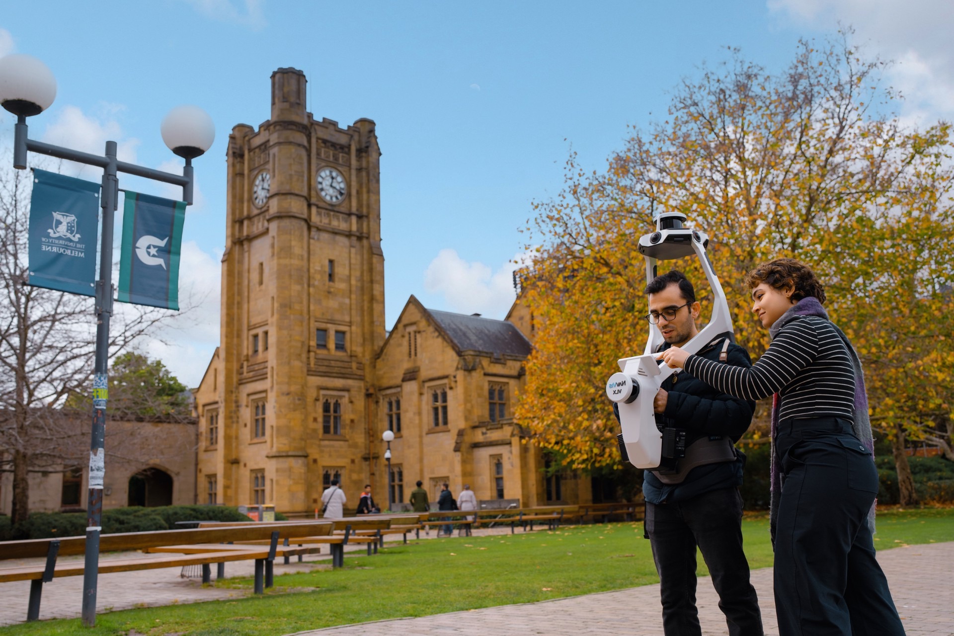
We specialise in developing and implementing advanced spatial sensing, mapping, analysis, and communication technologies. Our innovative spatial intelligence solutions unlock new functional capabilities and improve the resilience and efficiency of diverse systems, ranging from transport and urban planning to disaster management. This approach is what we term digital infrastructure engineering.
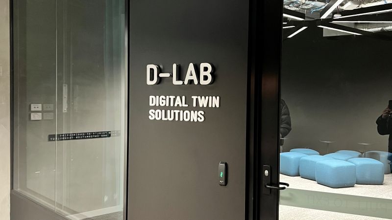
Research Facility
A nationally unique space enabling industry collaboration and the development of new research areas. There has been significant investment in the D-Lab which brings together the latest visualisation technologies.
$ 3M
Average annual research funding
8
Faculty members
48
PhD students
6:1
Student-instructor ratio